
Open Space and Connectivity Plan
The Draft Open Space & Connectivity Plan is now available for public review. The best way to navigate and review the plan, including its interactive mapping features, is through the use of an internet browser. Review the DRAFT PLAN HERE.
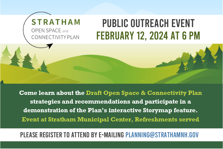
Comments or questions related to the plan can be sent by email to planning@strathamnh.gov
A significant goal of the 2019 Stratham Master Plan, the Open Space & Connectivity Plan will provide the Town a blueprint to guide long-range planning to help preserve valuable open spaces, achieve a better connected and more pedestrian- and cyclist-friendly community, and provide guidance to help balance goals related to habitat and ecological protection, recreation, and other needs.
Launched in February 2023, this project should take approximately one year to complete. Please check this page periodically for updates regarding the plan process and opportunities for you to lend your voice to this important effort. In the meantime, if you have any questions, please do not hesitate to reach out via e-mail to planning@strathamnh.gov.
Staff Contacts
| Name | Phone |
|---|---|
| Mark Connors | 603-772-7391 ext.147 |
Steering Committee Members
| Name | Title |
|---|---|
|
Kate Dardinski
| Recreation Commission |
|
Kate Davis
| Citizen Representative |
|
Chris Zaremba
| Citizen Representative |
|
John Kunowski
| Planning Board |
|
Dan Crow
| Stratham Hill Park Association |
|
Bill McCarthy
| Trail Management Advisory Committee |
|
Kyle Saltonstall
| Conservation Commission Rep |
|
Jeff Hyland
| Heritage Commission |
|
Tim Roache
| Citizen Representative |
Select Board | |
Ex-Officio | |
Ex-Officio |